Elevate Your Perspective with DroneIQ Hub
Discover innovative drone solutions tailored to your needs, from breathtaking aerial photography to precision mapping for businesses and enthusiasts alike.
Unmatched Drone Services Tailored for You
Aerial Photography
Capture stunning, high-resolution images from unique perspectives to showcase properties, events, or landscapes with unmatched clarity and detail.
- Ultra-HD imaging
- Dynamic angles
- Fast delivery
Mapping & Surveying
Obtain precise, geo-referenced maps and 3D models for construction, agriculture, or land management, streamlining your project planning and analysis.
- Accurate data
- 3D modeling
- Rapid turnaround
Inspection Services
Safely inspect hard-to-reach structures such as roofs, towers, or solar panels, reducing risk and cost while delivering detailed visual reports.
- Risk-free access
- Detailed visuals
- Comprehensive reports
Hear from Our Satisfied Clients
“DroneIQ Hub delivered breathtaking aerial shots for our real estate listings. The team was professional, efficient, and exceeded our expectations.”
— Alex R., RealtyPro
“Their mapping services streamlined our construction planning. The data was precise and delivered faster than we anticipated.”
— Priya S., BuildSmart
“We rely on DroneIQ Hub for regular inspections of our solar farms. Their reports are thorough and help us maintain peak efficiency.”
— Miguel T., SunGrid Energy
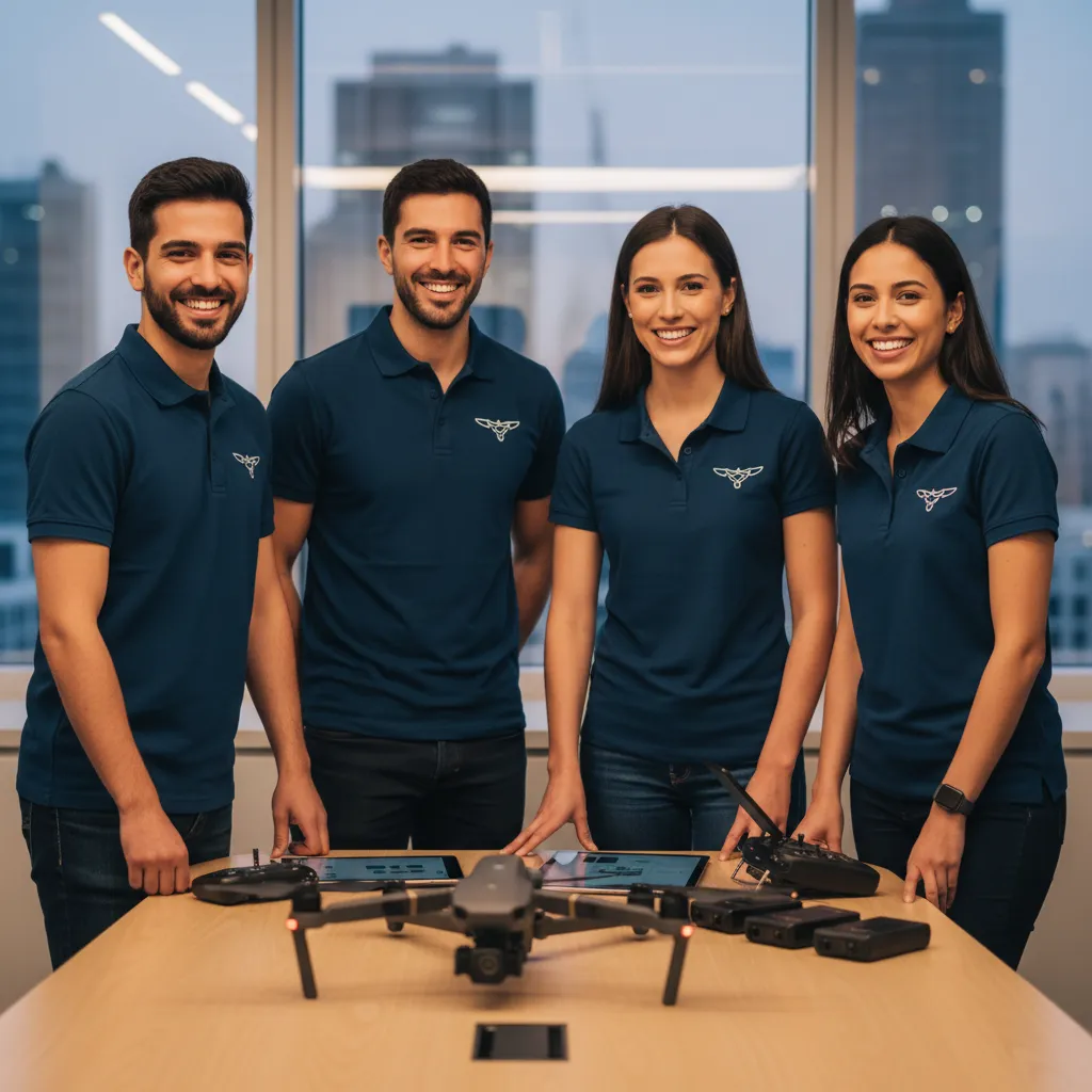
Meet the Visionaries Behind DroneIQ Hub
Our team blends years of aviation expertise with a passion for technology. We are dedicated to delivering innovative drone solutions, prioritizing safety, precision, and client satisfaction in every project we undertake.
Your Drone Questions Answered
What types of drones do you use?
We use a fleet of professional-grade drones equipped with high-resolution cameras and advanced sensors, tailored for each project’s requirements.
Are your drone pilots certified?
Yes, all our pilots are fully licensed and certified, ensuring compliance with aviation regulations and safety standards.
How quickly can I receive my footage or data?
Most projects are delivered within 48 hours, depending on complexity and client needs.
Can you operate in restricted airspace?
We handle all necessary permits and approvals to operate in restricted or controlled airspace when required.
What industries do you serve?
We provide drone services for real estate, construction, agriculture, energy, events, and more.
Ready to Take Flight? Contact Us Today!
Get in touch to discuss how our drone solutions can elevate your next project. Our team is ready to answer your questions and provide a tailored proposal.